Routes / Out of town
Springs trails – The Furba ring
Tizzana
A circular itinerary in the Montalbano area suitable for everyone, with two starting points in the municipalities of Quarrata and Carmignano.
Stages Route

Tizzana
Tizzana
TAPPA 1
Tizzana
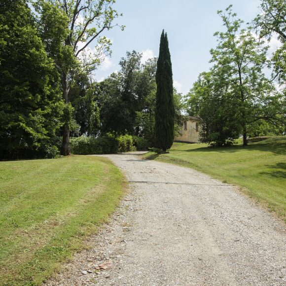
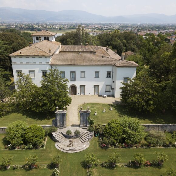
Dal 1959, Tizzana è una frazione del comune di Quarrata. Arroccato su un crinale del Montalbano, il nucleo più antico del borgo è testimoniato dal 1038. Grazie alla sua posizione strategica e al castello, fu oggetto di dispute fra le città di Pistoia e di Firenze, passando sotto il controllo sia dell'una che dell'altra. Nel 1325, anche il feroce condottiero lucchese Castruccio Castracani dovette arrendersi nell'assediarla. Delle sue antiche fortificazioni rimane parte della prima cinta muraria, che circondava il nucleo centrale del castello. La torre di guardia oggi svolge la funzione di campanile della Pieve di San Bartolomeo, mentre lì dove un tempo sorgeva il cassero del castello si trova un giardino pensile.
Furba stream
Tizzana
TAPPA 2
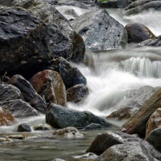
Furba stream
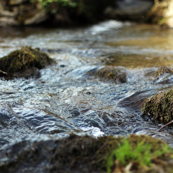
Il torrente Furba è un affluente dell’Ombrone Pistoiese lungo circa 5 km. Nasce tra le località di Seano e Bacchereto, nel comune di Carmignano, passa per Seano e sfocia nell'Ombrone in località Poggetto, nel comune di Poggio a Caiano. Nel suo breve corso ha numerosi piccoli salti e un ambiente molto vario: nel primo tratto si trova in un contesto forestale e naturale, invece nel secondo l’ambiente è fortemente antropizzato. Questa zona è importantissima per l’ecosistema ed ha diverse funzioni: riduce l’erosione delle sponde, intrappola i sedimenti che scendono dal monte e regola l’umidità del suolo e la temperatura.

Montalbano
Quarrata
TAPPA 3
Montalbano
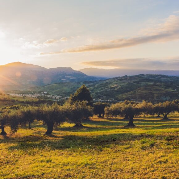
The Montalbano is a mountain range characterized by a system of hills adjacent and degrading with slopes rather gentle up to the plains that surround it. However, there are many rather steep descents. The area covers 16,000 hectares between the provinces of Florence, Pistoia, and Prato. It is located in a strategic position, between the Tyrrhenian Sea and the Tuscan Emilian Apennines, not far from the art cities of Florence, Pisa, Lucca. The landscape is dominated by the cultivation of vines, in the terraces and in the plains, and olive trees, on the slopes. Chestnut woods cover the peaks.